

Two tasks: Fix the propane. Get to Norfolk.
Note that we left the Bahamas due east of Ft. Lauderdale, ICW mile 1064. Norfolk is 283 ICW miles away. A hair over 25% left to go.
No trip is uneventful. In addition to propane weirdness, which cleared itself up, we had engine weirdness. And. We ran into Grace. For the third time.
Neither of us like irreproducible results. If the propane doesn't flow, it's broken, right? If you shake it and it starts working, what does that mean? Broken? Not Broken? If the engine is lugging, something's wrong. Isn't it?
22nd. Monday
Anchored at 34°12.248′N 077°48.095′W, Wrightsville Beach, ICW Mile 283.
Freezing. Well, relatively freezing. 13°C (56°F) in an otherwise unheated boat.
Sunday morning, the propane did not work. No. Hot. Food. We knew the little (10#) tank was empty, it had run dry when we got to St. Augustine, more or less.
The little tank (nominally 10#; actually 8# of propane) lasted from week 21 to about week 30: close to 8 weeks over to the Bahamas and back.
We'd expect the big tank (nominally 20#; 16# of propane) to last about 16 weeks. We filled it as best we could in St. Augustine before we left. We switched over to the big tank just after we got back. It was good for two weeks. Sunday: No Gas. Cold Food. Argh.
The "as best we could" part of the fill may be important. We thought it might be empty just before we left St. A. on week 21. The crew of Bye Polar (Billy and Leslie) took us over to the nearby propane dealer and he fussed around to get it to fill. It's a horizontal tank (not a common backyard grill vertical tank). These tend to have slightly more complex internal plumbing because of the Overfill Protection Device (OPD) that limits the amount of propane the tank can hold. There's a float, and (from what I read on the web) the float can stick.
Apparently that's what was happening. The propane guy banged the tank on the concrete floor a few times to shake the float loose and get it to accept propane.
Shaken and Stirred
Yesterday morning, I had taken the big tank out of the locker to judge how full it was. I gave it a thorough shaking. It felt like it did when we filled it before. An empty tank is surprisingly light and silent. This had a little weight and I could hear it sloshing.
There was no time to do anything more than dog it down and get started on the day's run North.
Both of Red Ranger's tanks expire in 2013. It looks like we should simply replace these tanks rather than try to get them recertified for another five years. Switching to vertical Blue Rhino tanks would simplify life. Two 15# Blue Rhino tanks would allow us more propane than we carry now; and they're easily exchanged without a complex trip to be refilled.
Further, the pressure gauge's internal paper label has started to peel off the back of gauge. The needle is jammed against the label at around 100 psi. It doesn't really show pressure anymore; it's essentially useless to determine if we have a leak. So we need a new regulator, too.
This morning, CA tried the gas. It worked.
The Propane Worked!
So we had hot coffee with our scones this morning.
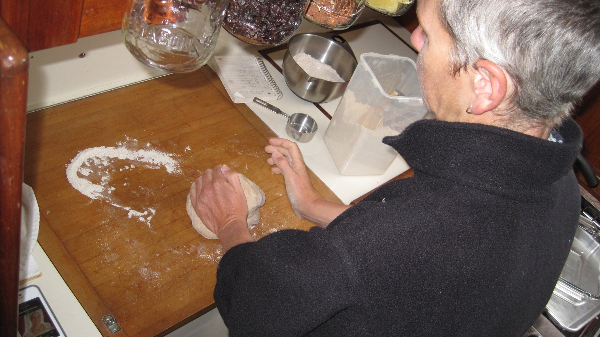
CA is pushing the envelope by doing the "kneadful" and baking bread and more scones. If the gas seems to be working, then let's squeeze the last of the propane out of it. If it seems to stick again, we can always keep shaking it.
When we next stop at a marina to dump waste and take on fuel, we'll buy a Blue Rhino tank and see if we can replace the old 10# horizontal tank in the hazmat locker. If that works, then we can squeeze the last of the propane from the 20# tank and replace it when it goes dead.
Weather Window
Since it's blowing 20-25 out there, we're sitting tight. Tomorrow and Wednesday will be more moderate. Why waste diesel powering into the wind? By Thursday, the wind will have switched and we'll actually have a warm, useful SW wind.
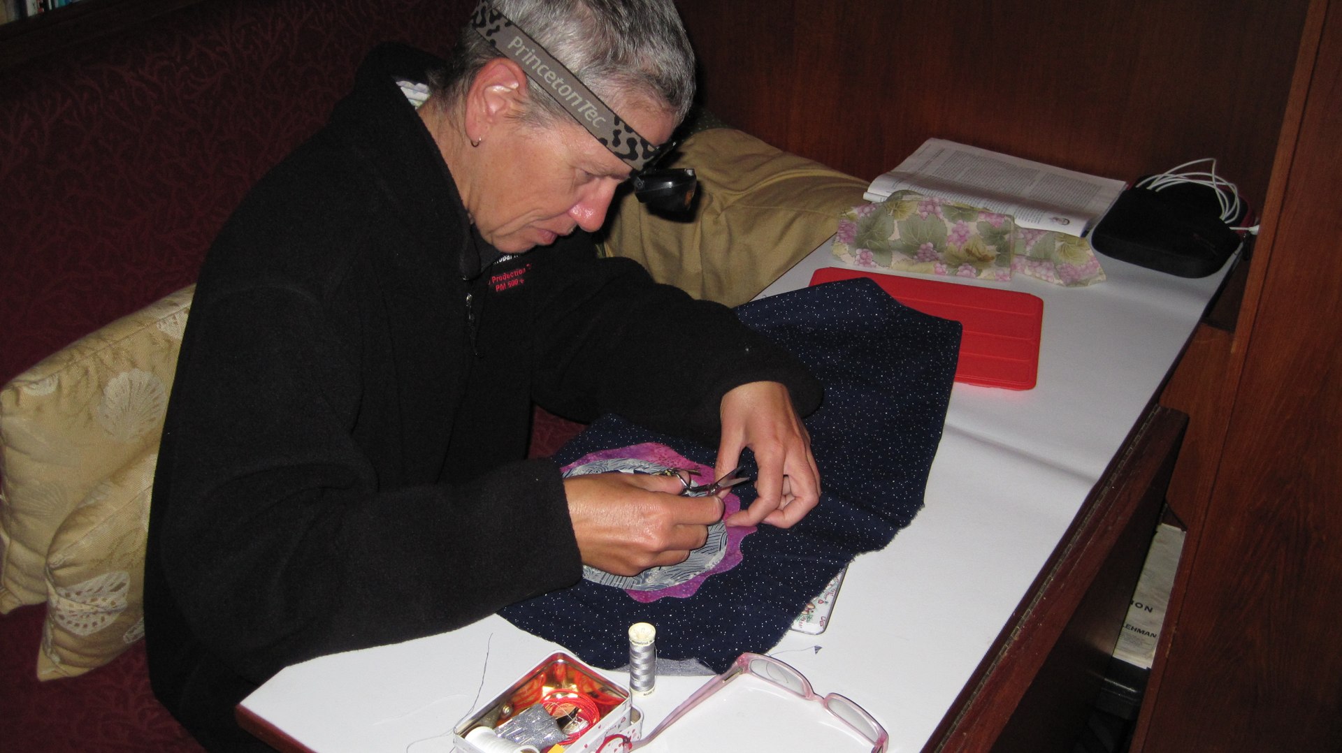
Today, we'll work on quilt projects and some video editing and other minor tasks. We're not going anywhere. So we're just going to stay at home and play quietly.
We think we'll spend Tuesday and Wednesday driving to Mile Hammock Bay and then Beaufort.
CA and I were recalling our first visit to Wrightsville Beach, on week 8. Back then, we'd only seen 283 miles of the ICW. This was, perhaps, the first place we'd seen a Green-over-Red dayboard that marks a channel split. Driving right next to big sand dunes on the deep side of the channel was new to us. We were crapping our pants at each new thing.
Also. That day we had driving rain and couldn't see very far.
CA recalled that it was a very long trip from the ICW into the channel behind Wrightsville beach. But yesterday, the trip seemed much shorter.
The N00b Factor
I suggested that it the trip from ICW to Wrightville seemed big because we were n00bs; crapping our pants at each dayboard. Now that we've got well over 1800 miles of travel behind us, much of it on the ICW, we're a little calmer about what to do.
Yesterday's trip up the Masonboro Sound showed similar skill growth. The channel is narrow and only 12' deep for the most part. There are many shoals and deep spots. CA had to drive almost 10 miles with 30 knots of wind on the beam; the wind was steadily forcing Red Ranger out of the channel onto the mud. She spend two solid hours fighting to keep to the windward edge of the channel while I sat and watched.
Dinner was salmon and kale over potatoes. The propane is still working. And on a cold day like this, nothing is so welcome as a hot dinner.
Tonight's low: 10°C, 50°F. Makes us wish we had some kind of heater.
Tomorrow will be breezy and cold, but not as breezy as today. It will start in the 15-20 realm, but settle down to a much nicer 10-15 in the afternoon.
Travel
| Attribute | Value |
|---|---|
| Arrive | Anchored at 34°12.248′N 077°48.095′W |
23rd. Tuesday
Started at 34°12.248′N 077°48.095′W, Wrightsville Beach, ICW Mile 283.
No trip is uneventful. Today's event, like the propane situation, was more weirdness.
4.1 hours into today's run, Mr. Lehman begins struggling. Choking and gagging.
"Can't. Get. Enough," he croaked.
"Enough, what, Mr. Lehman? Can't get enough what?" We leaned over his mouth to catch his gasping words, but nothing articulate came out.
He's not dead; he's laboring. Struggling.
Wilderness first aid: ABCDE: Airway, Breathing, Circulation, Disabilities, Environment.
Basic Diesel First Aid. What does Mr. Lehman need? Fuel, Air and Compression.
-
Air. Check. The two air intakes use simple ShopVac Filters which are clean.
-
Compression. Check. He's running. Nothing is dripping down the block. There's no rattle of shattered piston.
-
Fuel. Realistically speaking, what else can go wrong?
Is that everything? Cooling system is solid at 160°, normal temp. Oil pressure is about 40 psi, normal. Voltage has trailed off to just over 12 on the cockpit voltmeter (actually 13) for float charging and the tachometer works, so the alternator and main water pump are working. We're i gear and moving forward: tranny and prop are fine. That's everything.
Fuel, then.
Check the vacuum pressure gauge. It was at 0″ (new filters) this morning. I know because I log it every day. It was at 4″ when Mr. Lehman was struggling. Okay. Something's blocking the fuel flow.
Intervention Number 1. Switch to the other primary filter.
And.
Nothing. No change. Okay. It's not the filters.
What Else?
Tank? ½ full; fuel is new from the Charleston Harbor Marina on 18 April. Unlikely to be the fuel or the tank.
Primary Filters? Newly installed on 8 April, 53.3 engine hours on them.
Secondary Filters? Newly installed on 9 April, 52.3 engine hours on them.
Normally, fuel filters are good for at least 200 hours. If the fuel is clean, they'll last much longer than that. The previous filters looked nearly new when I replaced them. We've been burning fuel so quickly since August 2011 that our tank has been rinsed to a decent state of cleanliness.
Fuel lines? The main part of the fuel system is relatively new. The fuel line from lift pump to secondary filters was just replaced a few weeks ago on the 1 April. It has all of 82 engine hours of use; the filters were changed after using it for 30 hours to be sure that it was squeaky clean.
What else? All we have left are remote possibilities.
Once I saw crud in the tank pickup tube. That was years ago, before we rebuilt the fuel system. Indeed, that's why we rebuilt the fuel system.
There's always the remote possibility of air in the system.
CA checked the Waterway guide. There's a marina just beyond the Surf City Bridge. If we limp that far, it would be great.
She calls. They're in receivership. No dock space. No mechanic. Nothing. Once through the bridge, it's a long way through Camp Lejeune to the next outpost of civilization.
We just passed a marina at marker 90 on the ICW. The Anchors Away Boatyard. CA calls and finds that they're willing to let us tie up near their travel lift.
Turn Around
The Boatyard is about 2 miles behind us. We spin a 180 and chug back down to the boatyard as quickly as Mr. Lehman can limp. This way, the current is with us, so we get there quickly.
The channel to the boatyard is narrow, and probably shallow, and leads only to a travel lift. The crane is flanked by two piers with menacing amounts of concrete and bits of wood.
With luck, I brought Red Ranger right next to the lift without scraping any gelcoat.
The only worker at the boatyard—not a mechanic—is friendly and helpful. Even though he's not a mechanic, I review the state of our engine. He listens to my rambling explanations.
We're in neutral, idling. Mr. Lehman is making his happy noise. The mechanic looks at me with doubt. Of course, at low idle, Mr. Lehman should be happy. He's only sipping fuel.
The worker suggests I ramp up the RPM's until it starts to lug again. Good thinking! Reproduce the symptoms. At 1700 RPM's or so, Mr. Lehman starts sputtering, coughing, and running roughly.
Okay. We have symptoms.
Mediaeval Medicine
I bust out the wrenches and do the only procedure I know: bleeding.
It sounds so mediaeval. Like I'm applying leeches.
I popped open the bleed screw on the aft secondary filter. Solid fuel. Then the forward secondary filter. Fizz followed by solid fuel.
And Mr. Lehman is now happy at all RPM's.
We're back in business. We see a flotilla of boats heading N the ICW: they're aiming for the 13:00 opening of the Surf City bridge. We need to get off this pier and get in line with our peer group.
That was it?
It appears that the air bubble was the problem.
The question is this: Where did the air bubble come from? What's leaking?
I had a slow drip for the first few days after changing the filters. Fuel out can mean air in. Several days ago, I finally got everything tight enough that there was no more dripping, so it can't be anything recent.
That leaves me with this theory: A few tiny bubbles had worked their way along the system until they created one big bubble in the forward secondary filter.
We covered about 39 ICW miles in just about 8.5 hours. With the four mile detour, we really motored more like 43 miles. And the detour set us back exactly one hour based on the bridge opening times.
Anchored at 34°33.036′N 077°19.464′W, Mile Hammock Bay, ICW Mile 244.
The marines are not flying around and shooting at this end of their base. They're somewhere relatively far away playing with dangerous explosives. We can hear them. But it's not alarmingly close.
The sun is out. The wind is down. It's up to 20°C (68°F.) We don't need long underwear.
Tomorrow, it will be back down to 11°C (52°F,) so we'll be cold when we start for Beaufort.
Dinner was spicy cabbage over rice.
After dark, the choppers started circling. And there's a scary light in the woods. But no ordnance. So it's loud, but not too loud.
Travel
| Attribute | Value |
|---|---|
| Depart | Started at 34°12.248′N 077°48.095′W |
| Depart | Started at 34°33.036′N 077°19.464′W |
| Time | 8h 30m |
| Distance | 37.4 nm |
24th. Wednesday
Started at 34°33.036′N 077°19.464′W, Mile Hammock Bay, ICW Mile 244.
We had an uneventful trip up the ICW from Mile Hammock bay to Beaufort. We passed one bridge and one do-si-do around complex channel markers without incident. We were passed by a Coast Guard maintenance barge twice. It was huge, but really polite about passing all the little guys in the ICW.
We had planned to anchor in Taylor creek. It's famously crowded.
We tried four locations. Four.
We put the anchor down, looked around and pulled it back up. Four times.
It was hard to find a spot that doesn't leave our transom hanging in the fairway.
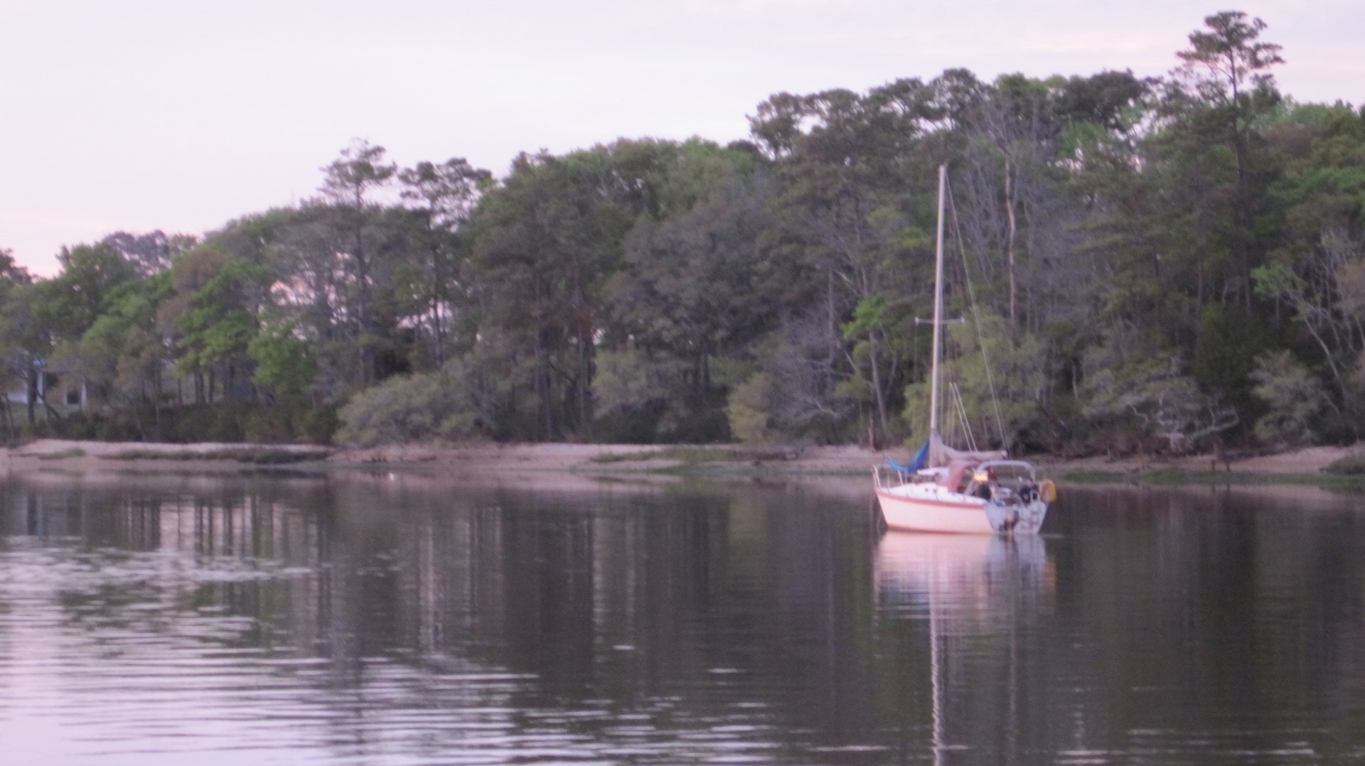
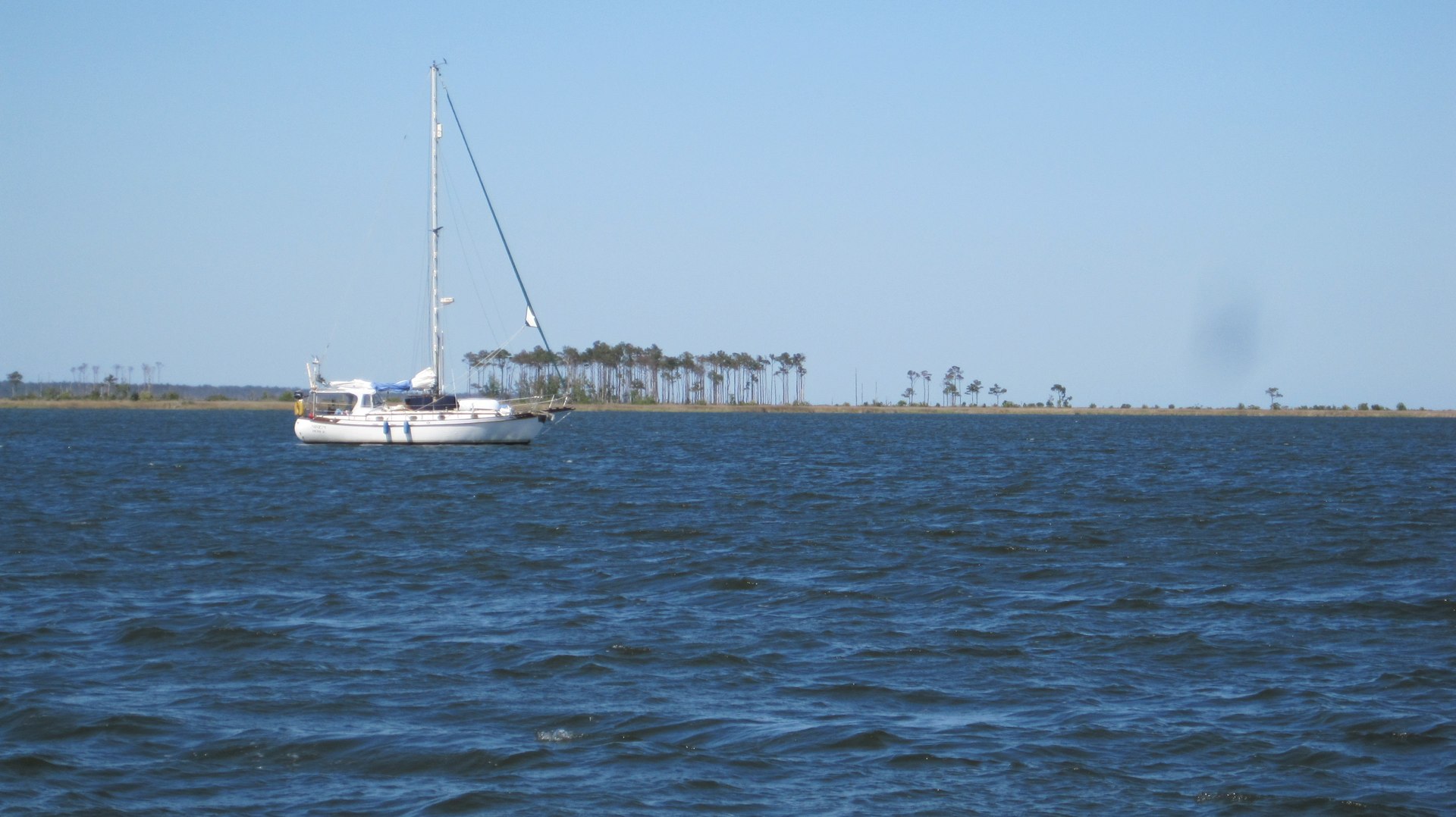
[This picture is not Taylor Creek or Beaufort. It's the anchorage at the N end of the Santee River.]
After the fourth location, CA was pissed off at the narrow, crowded creek. She decided that the only safe course of action is to pay the outrageous dock fees. (Seriously outrageous.) Also, we're running low on daylight and we're not interested in going back to Sugraloaf island over near Moorehead City to try and anchor there. For all that money we get hollywood showers, ready access to laundry and no worry about the complexity of monitoring an anchorage in the creek.
We'd been on the boat for six straight days since Cooper River Marina. We wanted to linger here and take walks and do laundry.
And. Bonus.
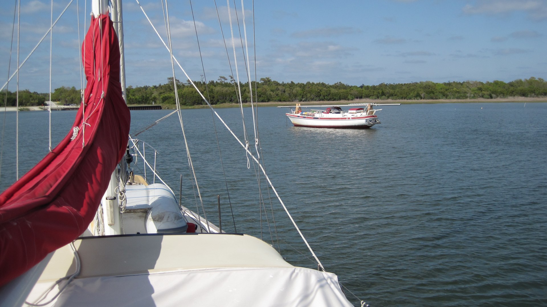
As we're pulling into the outrageously expensive dock, we see Grace is there.
Grace is a crew we met in Deltaville. We rant into them in St. Augustine (week 17). And Ft. Lauderdale and Key Biscayne (week 21). And back here in Beaufort. We're on parallel tracks. If you're in the market for a boat, you'll want to be in contact with Mark at Grace Yachting Group.
Mark had been anchored in the creek, but he'd pulled a muscle in his leg four or five days ago. The pain was finally bad enough that he took a dock, borrowed the marina's courtesy car, saw a doctor and got a medical opinion. Pulled Muscle. Keep working it gently while it grows back. Not his ACL.
Docked at 34°42.933′N 076°39.866′W, Beaufort City Marina, ICW Mile 204. About 40 nautical miles in 8.5 hours.
[This picture is not Beaufort, either.]
Beers at the Dock House and dinner at the Beaufort Grocery Company with Mark of Grace.
The great thing about being an omnivore is being able to chow down on a big slab o' tuna after days and days of mostly vegan dining on the boat. We're not intentionally vegan—we eat eggs and cheese—but I'd guess that 80% of our meals might fit the narrow technical definition of vegan. Since we're not fussy, we don't check to be sure that there's no milk or milk products, so we might fail on a technicality because the soup stock had milk in it. Vegan cooking, when it's not trying to mimic meat, is just ordinary food.
Bonus: the ingredients keep well. If you peel your cabbage from the outside (don't cut it into quarters) it keeps forever. Keep your spuds away from your onions (the onions make the potatoes sprout) and they last for weeks. You can roast eggplant one day, refrigerate it and throw and handful of eggplant into anything for the next bunch of days. CA buys oranges by the dozen, since they seem to keep nicely.
Meat storage is a pain. We buy tinned fish and anchovies and the like. We buy small amounts of fish wrapped in sealed plastic containers; they tend to keep longest. We can save this for treats during a week of sailing every single day. We think we may, for our off-shore ditch bag, stock jerky because it's good protein and keeps forever.
CA picks through her veggie stores periodically, throwing out the bad ones. One bad apple really does spoil the whole barrel, so she's ruthless about chucking anything questionable. In the rural areas it goes right over the side. Otherwise, we have to wait until we dump waste.
Travel
| Attribute | Value |
|---|---|
| Depart | Started at 34°33.036′N 077°19.464′W |
| Arrive | Docked at 34°42.933′N 076°39.866′W |
| Time | 9h 30m |
| Distance | 36.1 nm |
25th. Thursday
Docked at 34°42.933′N 076°39.866′W, Beaufort City Marina, ICW Mile 204.
CA went out for Walkies in the early AM. I didn't have to take her in the dinghy.
Grace left this morning to continue north through the Pamlico and Albemarle Sounds instead of through the ICW up the Alligator river.
There's a 45′ bridge between Roanoke Island and the mainland. We have to go all the way around Roanoke, making it a fairly long trip. But. It is open water with opportunities to sail.
Apparently, the trip works like this: (1) Stop in South Creek across from Oriental; (2) sail 35 nm to Okracoke Island (Silver Lake, specifically); (3) sail 35 nm to Long Shoal River; (4) sail 20 nm and motor 12 nm to Manteo; (5) sail 20 nm and rejoin the ICW heading N toward Elizabeth City. Sounds like fun. If the weather is settled, this could include an overnight passage.
We're Washing (showers, laundry and the boat in general.) We're dumping Waste.
*We're Watering and taking on fuel. 57 gallons of diesel. *
Lunch at the Front Street Cafe. Dinner at the Blue Moon Bistro.
We've got to get out of here before we spend our entire cruising kitty at restaurants.
Travel
| Attribute | Value |
|---|---|
| Arrive | Docked at 34°42.933′N 076°39.866′W |
26th. Friday
Started at 34°42.933′N 076°39.866′W, Beaufort City Marina, ICW Mile 204.
The trip out of Beaufort is pretty. You head up the broad, shallow Newport river past a lot of active industry. From there into the Adams Creek Canal for a mixed bag of scenery and waterfront homes. When you start heading down Adams Creek toward the Neuse River, you've left civilization behind.
On the other side of the Neuse, however, is Oriental, so you're not really all that far from services and restaurants.
The wind was—no surprise—dead ahead as we chugged down the Neuse toward Pamlico sound. Once we got to the mouth, somewhere near Gum Thicket Shoal, we had the full brunt of the East wind pounding on us. [On the other side is a marsh with a bombing target and lots of complex marks and circles on the chart.]
The wind was coming from about (a hair S of E) 115°, forcing us to power into it for about an hour. It's a shallow river, but there's a lot of fetch so the seas had built to closely-spaced four-foot waves breaking over the bow. It was pretty sporty. Right at my limit for sporty.
Once past Piney Point shoal red #4, we could fall off to a course of 055°, aimed for the Neuse River Junction. Instead of bashing into each wave at 3.7-4.1 knots (some times slowing to under 3), we could pull out the stays'l and motor-sail at a more respectable 5.7-6.1 knots. Speed is safety: we can get out of the waves sooner.
Why was this the limit for sporty?
There are two groups of reasons. The first is purely skill-related. Sporty sailing when you have a specific destination (and time) is unpleasant. Having to shave a lee shore tends to escalate the threat level. The time limit and shallow depths morphed sporty into arduous.
The second reason this was at my limit was an inarticulate "gut instinct". Reflecting back on it, I think that in the morning, I looked at breaking waves in Adams Creek. I don't like to see breaking waves in confined inland waters under the shelter of trees. They're fine in a big open bay. At the time, it was just a vague feeling that it wasn't right. But I couldn't articulate my specific concern. Now I think I'm better able to say why that kind of situation doesn't feel right.
Sporty weather aside, it was a pretty day. Bright sun. Clear sky. Big waves splashing all over the place. A hot lunch, a successful journey and an uncrowded anchorage.
The Neuse River Junction is where the Pamlico River and the Bay River join to create Pamlico Sound. We turned up the Bay River, and then turned again to get into Bonner Bay and snugged down for the evening.
The wind is blowing 10-15 through our rigging. But we're behind a low island so we have relatively small waves.
Anchored at 35°09.631′N 076°35.459′W, Bonner Bay, ICW Mile 161.
Dinner was 3T's: Tinned Trout over Tortellini.
Travel
| Attribute | Value |
|---|---|
| Depart | Started at 34°42.933′N 076°39.866′W |
| Arrive | Anchored at 35°09.631′N 076°35.459′W |
| Time | 7h 30m |
| Distance | 35.2 |
27th. Saturday
Started at 35°09.631′N 076°35.459′W, Bonner Bay, ICW Mile 161.
What a world of difference from yesterday: mild breezes, flat seas, rapid progress up the ICW.
The first half of the day is up Gale Creek, through a short canal, then down Upper Spring Creek and down Goose Creek to the Pamlico River. On the other side of the Pamlico River, it's a very pretty run up the Pungo River.
Last fall we spent almost a week here waiting our Hurricane Sandy. [Week 6, Week 7.]
From the Pungo river to the Alligator river is a long, long canal. The afternoon was a lot of keeping the boat centered in the waterway, looking at wilderness preserve on either side.
CA made me take pictures of the subtle gradations in hue from tree stump to grass to bush to tree. There's a lot of tan, taupe, bone, ecru, sand, eggshell, snow, off-white colors sliding past. Or so she claims. All I saw was swamp. Then she hogged the pictures into her iPhoto.
Boring, however, means no drama. No sporty sailing. Very relaxing. Very pretty.
We anchored in (almost) the same spot we anchored on October 25th last year. We're a few feet away.
We covered 59 miles in about 9 relaxing, no-drama hours.
We were here once before. And this was our third night on the ICW, our second night anchoring. It's a Really Big Deal to be closing this voyaging loop. We're returning a little saltier than we left. Less crapping our pants over every little thing.
Anchored at 35°40.381′N 076°03.410′W, S. Alligator River, ICW Mile 102.
Dinner was lentil soup with croutons made from the last of the bread. More bread-making tomorrow.
Travel
| Depart | Started at 35°09.631′N 076°35.459′W | | Arrive | Anchored at 35°40.381′N 076°03.410′W | | Time | 9h | | Distance | 49.6 |
28th. Sunday
Started at 35°40.381′N 076°03.410′W, S. Alligator River, ICW Mile 102.
Just 44 miles today; only 7 hours of motoring. The wind was light, and about 30° off the bow. So it was a kind of windward slog. Not as bad as some recent slogs in the Cape Fear River and the Neuse River.
Today we passed the notorious Alligator River marker "8A". The "Magenta Line" that highlights the ICW doesn't (and can't) honor this constantly moving mark. Some guidebooks have ALL-CAPS WARNINGS about following the actual marks in the water as placed by the USCG instead of following the cartographic highlights on an electronic chartplotter. Other cruisers have warned us, also: Don't look at the computer; Look at the water.
CA did the kneadful and baked bread.
If she starts after washing up from breakfast, then the bread can sit in sun in the cockpit to rise. We get two hot slices of bread for lunch. Delightful.
Anchored at 36°14.511′N 075°56.023′W, North River, ICW Mile 58.

Our "Skipper Bob" guidebook identifies this "SE of Buck Island" anchorage as good holding with not much wind protection. It reminds us of anchoring out on the Great Bahamas Bank. Really Exposed. But it's a good position for the next day's leg.
Dinner was a kind of Shepherd's Pie made with Veggie Burger.
Tomorrow looks like rain. We may not be able to see well enough to motor up the Virginia Cut. This exposed anchorage may be unpleasant. But so long as the anchor holds, we can wait for better conditions.
Maybe on Tuesday, our next stop will be Great Bridge, then Norfolk the day after that. We have a bunch of chores in Norfolk: shopping and laundry, etc. I may be able to change Mr. Lehman's oil, also. Depends on the marina and what kinds of waste disposal they have. In addition to oil, I need some more Fram PH8A filters, before I use my last one. While SAE 30 oil is easy to find, the filter is something I should have several of.
Engine? Tip-top. No more weirdness.
Propane? Also top-top. Hot meals three times a day and freshly-baked bread.
Travel
| Attribute | Value |
|---|---|
| Depart | Started at 35°40.381′N 076°03.410′W |
| Arrive | Anchored at 36°14.511′N 075°56.023′W |
| Time | 6h 45m |
| Distance | 34.4nm |
This Week
Engine Hours: 40. Diesel Gallons: 57. Water Gallons: 0. Miles Run: 225.
Books: Stalking the Blue-Eyed Scallop, Anthropology of an American Girl. Salt: A World History.
Read Aloud: The Name of the Wind: The Kingkiller Chronicles.
Travel
| Attribute | Value |
|---|---|
| Engine | 40. h |
| Diesel | 57. gal |
| Water | 0. gal |
| Distance | 225. nm |
