

Bahamas! Specifically, the Berry Islands.
[Final posting, based on having good Wi-Fi access at Starbucks in the City Market in Nassau. The Coconut Tart is good, also.]
11th. Monday.
Started at 25°30.293′N 078°13.974′W, Great Bahamas Bank
The day started with a Miracle. An absolute shocker. I took out the Tecsun SW radio receiver, which has never worked for receiving SSB transmissions. Never. It gets shortwave, AM and FM nicely. But it never got SSB radio.
Today, I set it down on the saloon table, radio near the mast, antenna pointed toward the companionway. This was yet another position and orientation on the boat. It was a randomly chosen new position.
And.
It worked. Amazingly, shockingly, in this one position—near the mast—the radio works like a champ. Thanks Liquid Therapy for this radio. We caught the tail end of the Caribbean Weather broadcast for the first time.
Stepping up on deck, we found that the wind had, indeed, moderated a hair and clocked just a smidge further around. The Bahamian winter weather is remarkably consistent: the wind moves from NE to E to SE to S: around clockwise. The only question are "when" and "what speed"?
Yesterday, we had wind from 090° or so, and we were not really able to make a course of 106°. We could simply motor—slowly—to weather, rolling and pitching the whole way. Instead, we tried beating back and forth, but the distance made good was pitiful. Four hours of that was enough.
Today, the wind is closer to 120°, making it much easier to motor sail closer to 106° under stays'l.
We can't really point as close to the wind as 106°, but we can beat back and forth between 180° and 090° creeping through the Northwest Channel out over the Tongue of the Ocean (TOTO). We're using stays'l and a reefed main under winds that are only about 10-15 knots. Plus, of course, we're running the engine to keep our speed up into the 4-5 knot range.
Like the Gulf Stream, TOTO deserves a good deal of respect. The water drops away from 6-9′ on the Bank to over a 1,000′ before we'll get to Chub Cay. Waves get bigger, so do currents.
After three days on the Great Bahama Bank, Chub Cay was a site for sore eyes. We were delighted. We took several tacks to get a good angle past the Mama Rhoda Rock and into the anchorage off the beach.
Clearing customs? Two choices.
-
Stay out there and pay $100 fee.
-
Purchase fuel.

Okay, we'll purchase fuel, thank you.
It works like this:
-
You pull up to the fuel dock; the dockmaster gives you all the paperwork you need to fill out. There are two copies of some forms: be prepared to write.
-
The dockmaster calls for the bus. The bus takes you to the airport. The driver is very nice. The bus needs shocks. It's just a Toyota van.
-
At the airport, the customs officer processes your paperwork. She's charming, but very strict on the rules. See needs to see your passports and your boat documentation. Cruising guides suggest several other documents may be needed; the Chub Cay airport didn't ask for anything else. She gives you a fishing license, a cruising permit, your exit forms to officially clear back out, and a receipt for your $300.
-
Back at the marina, you owe the bus driver $10 for the trip to the airport and back.
-
Finally, you can purchase fuel. In our case 42 gallons at over $6.25 per gallon. Ouch. But we needed fuel and those are the prevailing prices in the Berry Islands.
Then we motored back out to the beach area and anchored in a hellishly rolling sea. Awful. The wind from the S creates an sickening rolling.
Dinner was one of Zatarain's rice side dishes. Which one? Don't recall. They're all good.
Anchored at 25°24.574′N 077°54.612′W, Chub Cay
Travel
| Attribute | Value |
|---|---|
| Depart | Bahamas Bank 25°30.293′N 078°13.974′W |
| Arrive | Chub Cay 25°24.574′N 077°54.612′W |
| Distance | ? |
| Time | 7h 25m |
12th. Tuesday
Started at 25°24.574′N 077°54.612′W, Chub Cay
Now that I know how the Tecsun radio likes to work, I could start the day listening to the entire broadcast of the weather. And take notes.
The Chub Cay anchorage was awful, so we went to Frazer's Hog Cay (about 5 miles E of Chub Cay as the crow flies.) There should be more protection from the S winds. (Wind from the NW, however, can be bad in Frazer's Hog Cay.)

Theoretically, there's a Berry Islands Club Marina with mooring balls just off shore.
As a practical matter, there are perhaps 3 balls, all in use. We dropped the anchor. We looked into a few chores (and some lunch). CA emptied our water jerry jugs into our water tanks, so we could fill them ashore. We'll do a little each day.
CA also sewed up our boom vang "kicker" strap. We use this as a preventer. It prevents accidental gybes from destroying the rigging. We had an accidental gybe in the Atlantic; the preventer worked; it also stretched the webbing straps and popped some stitching.

Ashore, we met Howard, who runs the Berry Islands Club, to ask about water and Wi-Fi. He told us that there used to be 20 or so balls. Chains have given out, balls have broken free, lots of problems. Since there's not much boat traffic, so his fuel tanks are largely empty place-holders, also.
The sport fishing has dried up, so they don't see as many fishermen as they once saw.
H0ward was cheerful, helpful, friendly. He needs more customers. A lot more customers. The place looks like it could be simply delightful. Everyone should stop here.
As far as we can tell, he doesn't run the Berry Islands Club power unless there's a real need. So tomorrow, by 9 AM or so, he'll have the generator running. He'll have the water pump and the Wi-Fi running for us.
Dinner was home-made corn chowder with drop biscuits. Flat conditions allow much more ambitious meals.
The weather for Thursday and Friday is very light and variable winds. They'll clock into the W for Saturday and then N (and big) for Sunday. We'll make our break for Nassau on Saturday. It's about 36nm, about 6.5 sailing over the Tongue of the Ocean.
Anchored at 25°25.554′N 077°49.969′W, Frazer's Hog Cay
Travel
| Attribute | Value |
|---|---|
| Depart | Chub Cay 25°24.574′N 077°54.612′W |
| Arrive | Frazer's Hog Cay 25°25.554′N 077°49.969′W |
| Distance | ? |
| Time | ? |
13th. Wednesday
Anchored at 25°25.554′N 077°49.969′W, Frazer's Hog Cay
The weather report still looks like a Saturday departure for Nassau. It will build and switch to the north, potentially making the entrance to Nassau harbor unpleasant. Or maybe even dangerous.

Took the dinghy to the Berry Islands Club for our 0900 appointment with Howard. It looks like the greatest hangout spot ever. But it's deserted except for Howard and the crew of Red Ranger.
Howard turned on the main generator. This turns on TV, lights, water pump, fuel dock, and air conditioning. He runs the cell tower and Wi-Fi from an inverter off his F-350 truck; separate from the rest of the facility. With the pump running he could get us 12 gallons of filtered fresh water.
Fees? $10.00. That's it. The 12 gallons of water were more-or-less free on top of the Wi-Fi. Most places charge $.35 per gallon; he could have asked for $4.20 for the water.
Messed with the macerator pump. It's not working. In principle, sea water sloshing around should free up the pump. Having the sea cock open for five days hasn't done any good. So I opened up the hose to the holding tank, spilled some poop in the bilge, probed around for a bit, ran out of patience, and reassembled it. Maybe tomorrow.
We noticed that there must be almost ten boats anchored here behind Frazer's Hog Cay.
Dinner was fried rice with tofu, cabbage and a touch of a ginger-based space we bought at the spice store in Charleston.
Travel
| Attribute | Value |
|---|---|
| Arrive | Anchored at 25°25.554′N 077°49.969′W |
14th. Thursday
Anchored at 25°25.554′N 077°49.969′W, Frazer's Hog Cay
Brought in the dinghy. We're not planning to go back to the Berry Islands Club. Yesterday we got what we came for: calm anchorage, water and Wi-Fi to send some email.
Today, we've noticed that a few of the boats have left the anchorage. Maybe it's time for us to move on? Before we can move, we have some chores to do.

CA repaired the lazyjacks that broke last Friday during our Gulf Stream crossing.
CA looked at the mast step. It had developed a loud creaking noise in the Atlantic. Bobbing at anchor in 2-3' seas in the Great Bahama Bank, it creaked loudly. Now that we're in flatter water behind Frazer's Hog Cay, it stopped creaking. CA opened up the mast boot cover and looked at the wedges. They're in place. Solidly. My theory is that the hull works a bit in a heavy sea and we're hearing the deck flexing.
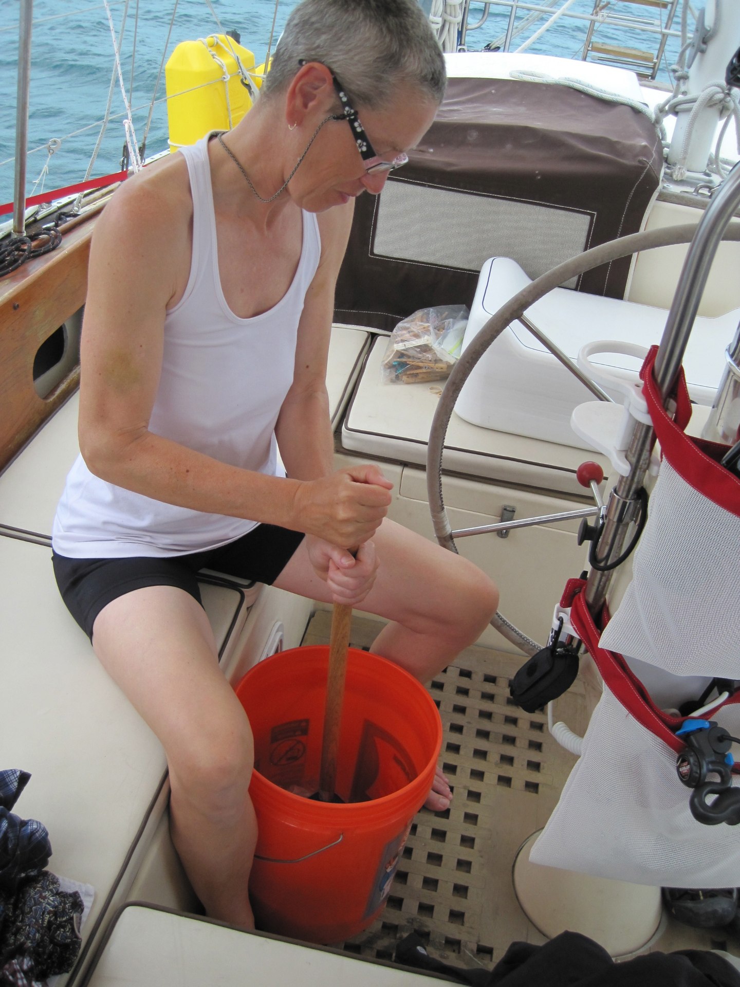
CA did laundry in a bucket. There aren't any facilities ashore.
I made a 6V negative pin adapter out of a 12V extension cord so that I could charge the Tecsun radio batteries. This radio doesn't charge with 12V positive pin like every other marine device on the planet earth. Weird. Since the radio now works (and works well!) it's time to give it a semi-permanent connection to 12V DC on the boat.
I finally took the macerator apart. It's dead. The chopper end of the pump is simply falling apart. Two of the bolts have sheared off. It's a wonder it doesn't leak. We'll see about ordering one for delivery to the Post Office (or a marina) in Nassau. Or. We'll just use our Nature's Head, and replace the macerator in the US.
Macerators are a painful thing to test. You have to be three miles offshore to use it in US waters.

At this point, we're prepared to move to Nassau on Friday. Winds will be light and variable, but we're done seeing Frazer's Hog Cay; it's time to move on. If there is wind and its from S or SW, it will be good sailing a course of about 120° to Nassau. If there's no wind, we'll motor. If the wind is from SE, we may slog into the wind or change our mind and wait for Saturday.
Dinner was a kind of minestrone with tons of stuff. Tons.
Tonight the wind died to nothing. After blowing 18-20 knots all day, it's weirdly quiet at night without a big breeze singing in the rigging, or water slapping against the hull.
Travel
| Attribute | Value |
|---|---|
| Arrive | Anchored at 25°25.554′N 077°49.969′W |
15th. Friday
Start from 25°25.554′N 077°49.969′W, Frazer's Hog Cay
Today, we moved our home to Nassau.

We were pleased to see that we were leading the parade out of the Frazer's Hog Cay anchorage. It's nice to see that we have a peer group that made the same decision. The weather is supposed to turn nasty on Sunday, and we need something protected from the North.
We had a delightful motor-sail in today's fitful breezes. At first, we did pretty well with a reefed main. Wind was from 210°, our course was about 130°: we were on a comfortable beam reach. As we wind wimped out, we went to full main. Then, when the ETA stretched out to after sundown, we started Mr. Lehman and chugged our way across the Tongue of the Ocean under a full press of sail and an engine turning at 1400 RPM.
[BTW. 1400 RPM is 700 propellor turns per minute. We have a 12″ pitch propellor. In theory, our 700′ per minute are 42,000′ per hour: 6.9 nautical miles. Only leveraging sails and wind can we actually make those kind of speeds. Under engine alone, we can't push through the water that fast.]
Our neighbors in Nassau's East Bay gave us some important tips on setting two anchors; this is needed to contend with a reversing current in a crowded anchorage where swinging must be kept to a minimum. One anchor will be upstream and one will be downstream; they'll reverse roles when the tide reverses.
The procedure is something we'd never done before. The procedure is this.
-
Set the primary anchor.
-
Let out all the scope you can. In our case, we let out scope until we were getting close to the boat behind us.
-
Drop a secondary anchor.
-
Grind in on the first anchor rode to center up between the two.
Now we just watch and adjust as the tide swings. We've been checking every hour and tweaking our lines to be sure that we're swinging in small circles with our neighbors.
Our 55 lb. Rocna seems to be doing quite nicely; the Bruce is sitting on the bottom to make the neighbors feel happy that we're taking appropriate measures. I think the Bruce is just going to get tangled, since the Rocna appears to be doing all the work.
Dinner was pasta with a garlic anchovy sauce.
After a week of rural environments, downtown Nassau is amazing. The Atlantis Resort is a piece of Las Vegas here in the Bahamas. Breath-taking. There were five immense cruise ships docked here, also.
Anchored at 25°04.54′N 077°18.60′W, Nassau
Travel
| Attribute | Value |
|---|---|
| Depart | Frazer's Hog Cay 25°25.554′N 077°49.969′W |
| Arrive | Nassau 25°04.54′N 077°18.60′W |
| Time | 8h 50m |
| Distance | ? |
16th. Saturday
Anchored at 25°04.54′N 077°18.60′W, Nassau
Two jobs today.
-
Laundry. The Nassau Yacht Haven has a nice little laundry facility and is happy to have folks using their dock space.
-
Get oriented.
The Texaco "Star Port" station at Harbor View Marina has a prominent, free dinghy dock. It's a short walk from the City Market, which has a large, US-style shopping: a vast former Winn-Dixie grocery store, a Starbucks, a Radio Shack and a Bed, Bath and Beyond. Very American, except for the cars driving on the wrong side of the road.

We took some time to wander around, looking at downtown Nassau. There's a lot of failed businesses on Bay Street. A lot. It looks like any medium-sized rust-belt city in America with a run down main street, palm trees, and weird zoning rules that puts a house in between two industrial-looking buildings.
Dinner was comfort food: beans and pasta.
Tonight's weather is a hellish frontal system. It's a Big Hairy Deal to the cruisers here. It's also going to create nasty conditions in the North Atlantic.
The anchorage here isn't great, so there's a lot of worry.
-
Whether or not an anchor might drag. You don't know. You try to take steps to prevent dragging. But you never really know. We're able to use our Anchor Alarm app on our iPhone to monitor our location. So far, we're just 59' from where we put the anchor down yesterday. The river current is about 180° from the direction when we put the anchor down, so swinging just 59' is sensible.
-
What can be done to prevent dragging. While putting out plenty of scope is important, you can't swing in giant circles in a crowded spot like this. The alternative is to put out upstream and downstream anchors, which we've done. We think we've done it properly: they both seem to have held through 24 hours of tide switches. Currently, the windward anchor seems to be holding.
-
What to do if an anchor breaks loose after dark, when you can't see to navigate. This is nasty. With two anchors down, there's a lot of panic involved in hauling both anchors in while motoring into the wind to keep away from a neighbor's boat. Then. Resetting the anchor in the dark. Or. Motoring around until daylight.
Yesterday, I thought the secondary anchor (a Bruce) was doing nothing. Today, it's working. It's keeping us from dragging down on top of the trimaran next to us.
We're popping up to look around with every gust of wind. We'll take turns sitting up tonight until the wind finally dies down. It feels a little bit like an overnight voyage. The big differences are that conditions are much flatter than they are at sea, and the engine isn't thundering away.
Travel
| Attribute | Value |
|---|---|
| Arrive | Anchored at 25°04.54′N 077°18.60′W |
17th. Sunday
Anchored at 25°04.54′N 077°18.60′W, Nassau

Daylight steals over the eastern horizon, painting the clouds pink and blue, and our anchors are still holding. The wind rattled and shook everything on the boat like a child exploring Christmas packages. The Bruce anchor rode was stretched into a laser straight line from bow pulpit to the bottom of the bay; with no catenary arc to the line, it's a wonder that it held. There's a possibility that it's been snagged on something all night and we'll have a devil of a problem freeing it.
But for now, we're delighted with our ground tackle.
Weather should start settling down on Monday, by Tuesday or Wednesday, it will be back to Bahamas winter normal. We may be able to start our run down to Georgetown on Great Exuma Island.
Today we took the dinghy to shore to wander around. By wander around, we mean visit Starbucks and use the Wi-Fi. Then visit the Poop Deck and have some beer with Hugh, George and Karl: the local liars club. Meetings on weekday evenings.
Dinner was a variation on Alu Mattar using lima beans instead of peas.
Travel
| Attribute | Value |
|---|---|
| Arrive | Anchored at 25°04.54′N 077°18.60′W |
This Week
Engine Hours: 24. Diesel Gallons: 42. Water Gallons: 10. Miles Run: 72.
Books: "The Dark Night" screenplay, "Passenger" screenplay and "Alien Engineers" screenplay. Also, First Darling of the Morning, and Playing with Fire: Chemical Companies, Big Tobacco and the Toxic Products In Your Home and The Razor's Edge.
Read Aloud: A Feast for Crows: A Song of Ice and Fire.
Travel
| Attribute | Value |
|---|---|
| Engine | 24. h |
| Fuel | 42. gal |
| Water | 10. gal |
| Distance | 72. nm |
