

Anchored. 26°57.0662′N 082°11.2751′W.
We're cruisers. I think all cruisers carry jerry jugs of spare fuel on deck.
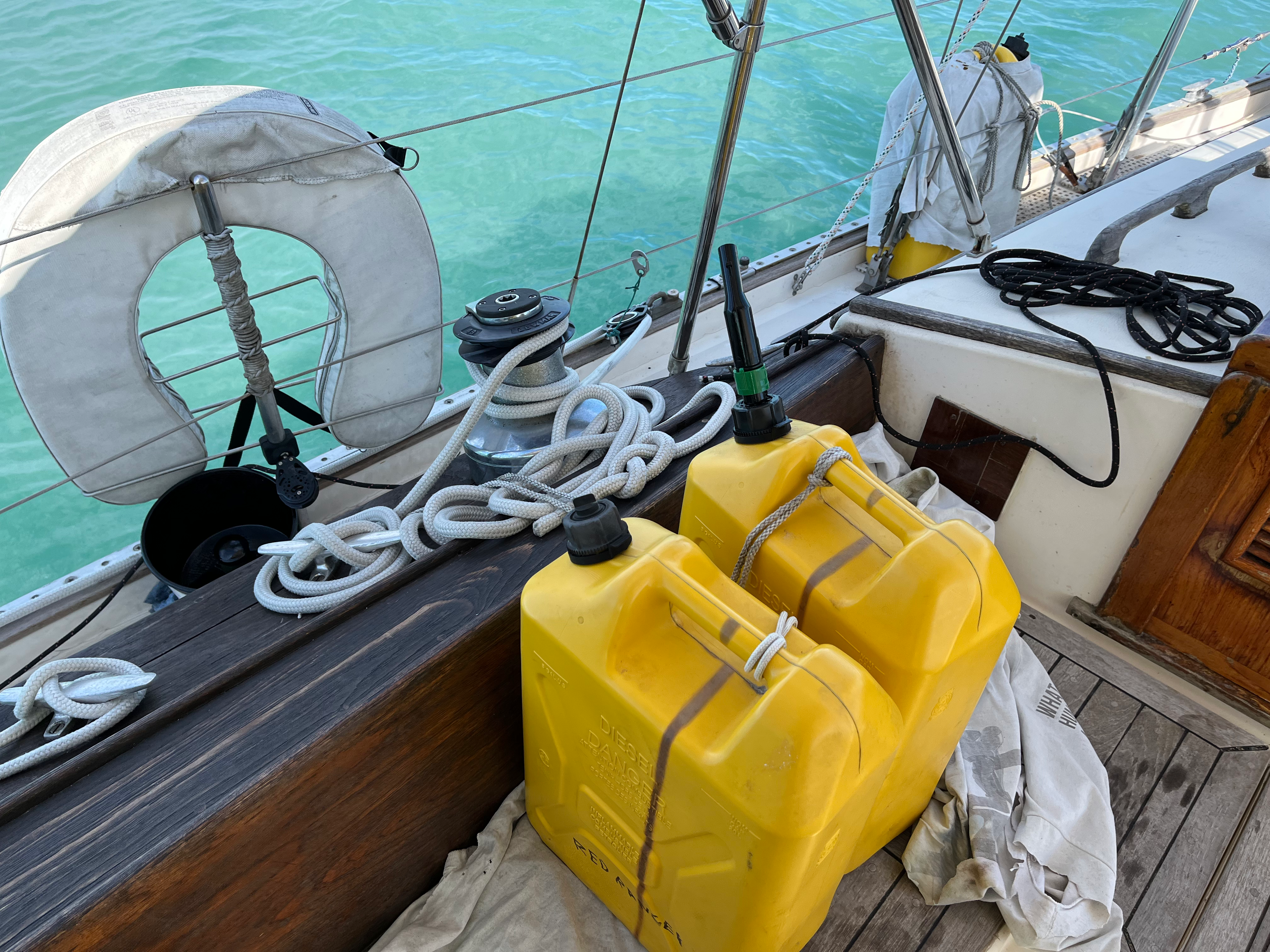
Since this is the end of this cruising season, we poured the fuel from jerry jugs into the tank.
This can be messy and involve environmental catastrophes. Making a dam with paper towels and using a big Baja filter meant spilling nothing into the waterway. It did involve a fair number of diesel-soaked paper towels that will go into the oil reclamation at the Safe Cove Marina.
We carry five 5-gallon jugs. This is just under 5/12 of our main tank's capacity. We had about 1/4 = 3/12 of a tank after yesterday's motoring. Adding the reserve fuel brought us up to 8/12 = 2/3, just a hair shy of 9/12 = 3/4.
I'm thinking of changing my notebook entries to try and read the fuel gauge in 12ths instead of 8ths.
It's not too hard. Right now, my log book is full of "fuel 7/8-" when it's a hair under 7/8. That's better understood 10/12. A hair over 7/8 is 11/12. And the spare jerry jugs on deck are 1/12 each.
Charlotte Harbor
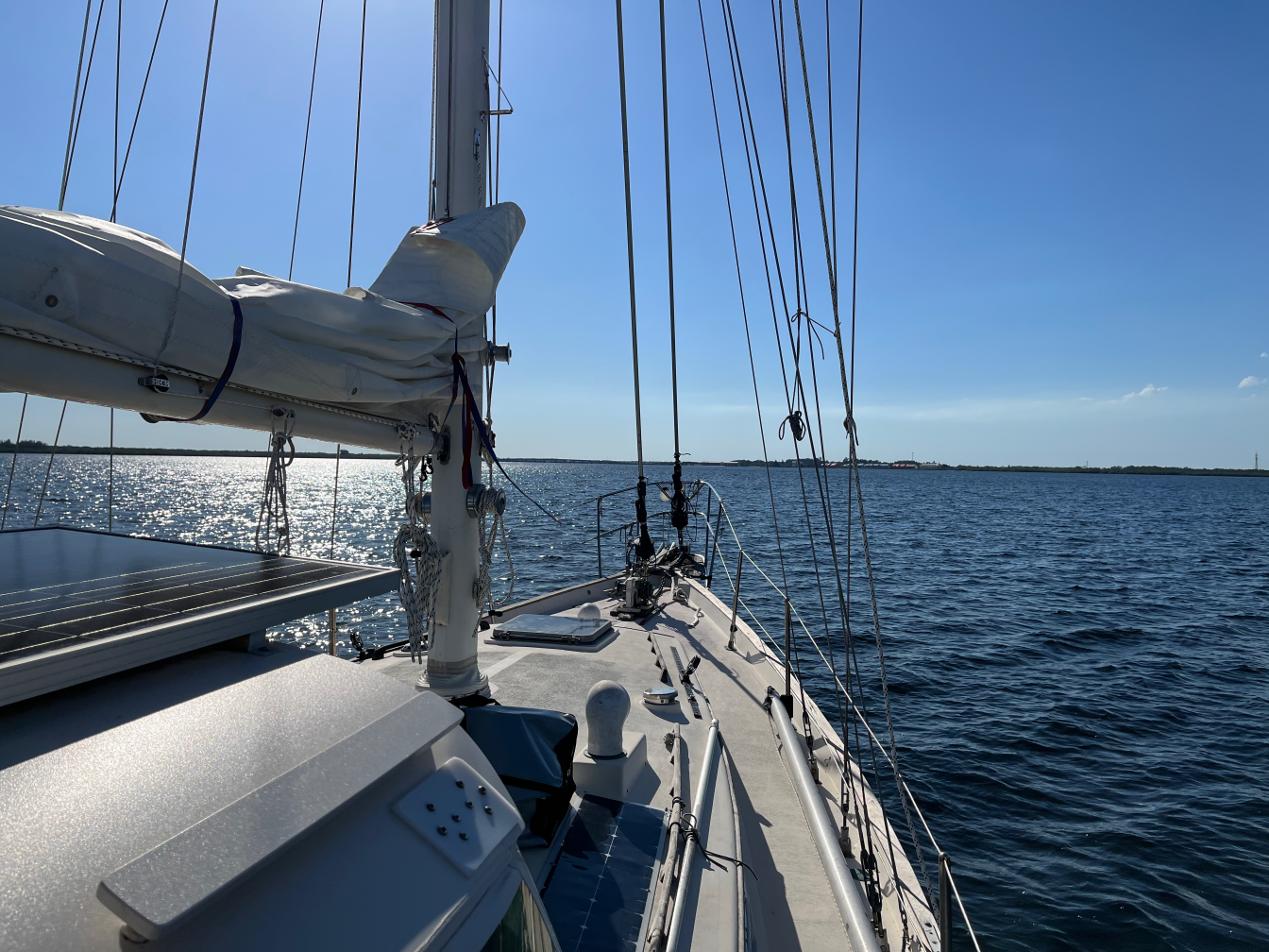
Today we spent three hours chugging through Charlotte Harbor. It's quite large.
I find it hard to get a sense of scale from electronic charts. The charts zoom in and zoom out. They include a legend to show you the scale, but you can zoom and zoom out until the thing fills your screen. So everything is at the same visual scale of "screen filling."
At 15 miles long and 4 miles wide, Charlotte Harbor seems like it could be a great place for day-sailing. We could easily spend 4 hours tacking back and forth along the whole length of the harbor.
A 3- to 4- mile leg (moving at 4-5 knots) is a gentle pace that leaves lots of time to discuss sail trim and look at birds.
There are a fair number of anchorages around the harbor, allowing for overnight excursions. The GIWW (Gulf Intracoastal Waterway) goes right through here. There are two paths down to Ft. Myers: inside on the GIWW, and outside in the Gulf of Mexico. Marco is two days away. The keys are four days away.
Hurricane Season Haulout
You can see that our headsails are missing. We've struck them below. We'll strike main and mizzen tomorrow or the next day. Then everything else comes in off the deck:
- Empty Jerry Jugs
- Outboard
- Boathooks
- Fenders
- The fender board
- Foredeck solar panels
- Throwable Jim Buoy and the Life Sling
- Bimini cover
The halyards get tied down hard.
The idea is to be ready to withstand an actual hurricane in the unlikely event one runs into this part of Port Charlotte. The official Hurricane Outlook won't be published until May 24th. It's impossible to say where they'll hit, but previous years will suggest how much wind is likely to batter the boatyard.
Travel
| Attribute | Value |
|---|---|
| Depart | Boca Grande 26°43.6071′N 082°15.2692′W |
| Arrive | Myakka River 26°57.0662′N 082°11.2751′W |
| Distance | 14 nm |
| Time | 3h 40m |
| Engine | 3h 40m |