New for August 4th:
-
Watching closely for container ships. In the Southern Bay, the shipping channel is close to the Eastern Shore. We barely see the ships. Up here, however, they're right in the middle of the bay! An AIS tracking app on the iPhone (like Marine Traffic) helps. Proper AIS in our radio (and integration with our chart plotter) would help even more.
-
Watching both sides of the Bay. The Bay is skinny up here.
-
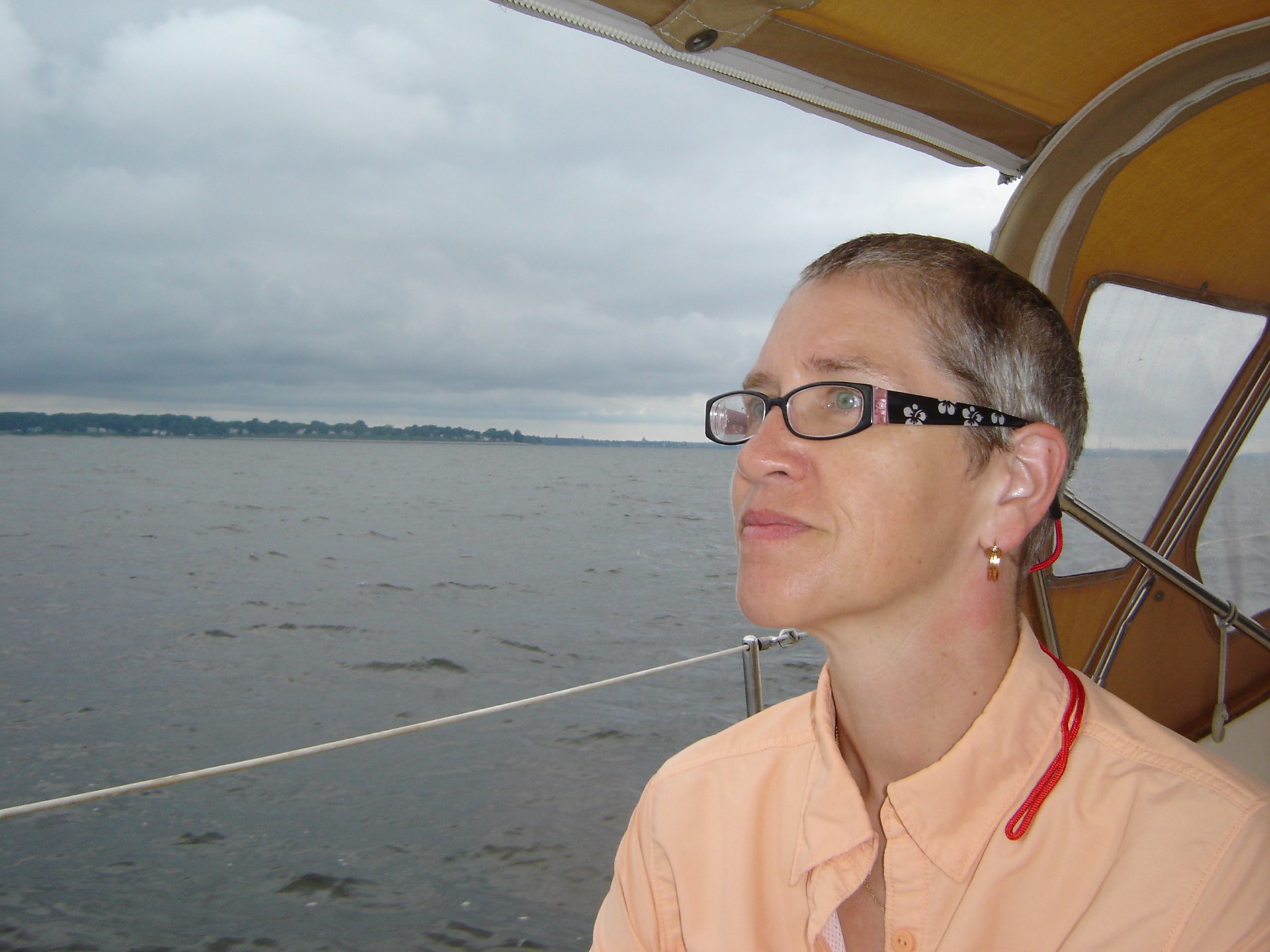
Watching hugely famous landmarks. Like the Thomas Point Lighthouse.
-
Watching Annapolis from the water. This whole mad notion started with trips to Annapolis over the years. We're closing the circle.
Key Dramatic Moment
Right out of the Patuxent, it was blowing 10-15 knots right on our nose. It was a very bouncy, very splashy motor, straight into the wind.
Me: "We can duck in along the Choptank or Little Choptank or Herring Bay or West River."
CA: "Why duck in?"
Me: "It's blowing like stink. There are at least three-foot seas out there. It's rocking and rolling. It's nasty."
CA: "We've been in this kind of thing before."
Me: "Yes, but, we're on vacation, we've got ten days, we can wait this one out of you want."
CA: "This is what we signed up for."
So, we went for it. We only made about 45 nm, since we were motoring straight into the wind most of the day. In the afternoon, it flattened out and we anchored in Whitehall Bay, just north of Annapolis.
Bottom Lines
Passage duration 0855 to 1825 = 9:30.
Passage distance from Back Creek to Whitehall Bay: 6nm to Bay; 39nm to Whitehall Bay = 45nm.
Cost: 27 gallons of fuel.